
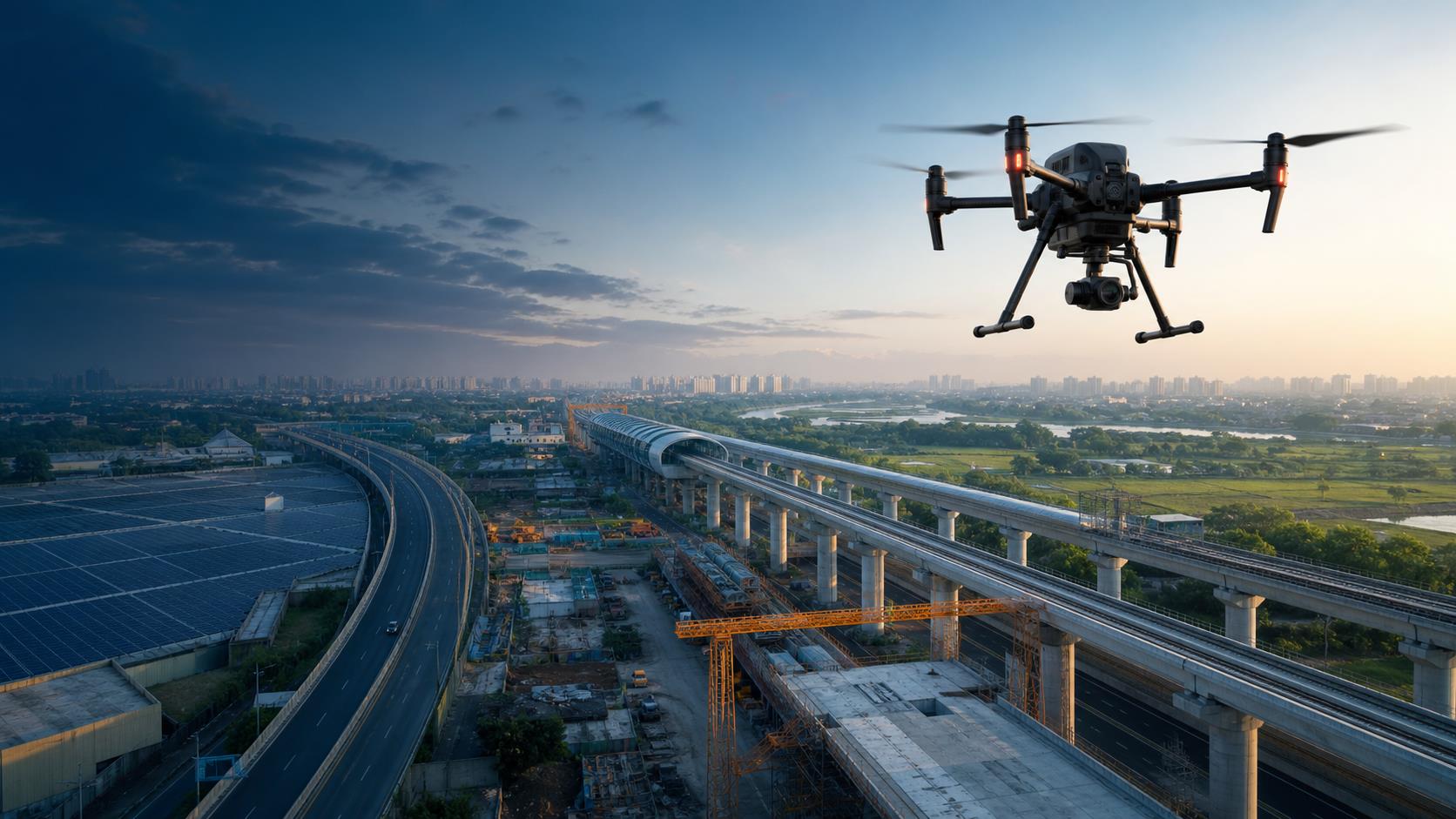
Construction
Monitor sites, document development and improve project visibility.
Advanced Drone Intelligence
Advanced drone-powered surveying, mapping, inspection and monitoring solutions designed to deliver clearer data, safer operations and better project decisions.
About ADI
Accelerate Drone India brings modern aerial technology into projects that require dependable field information, efficient monitoring and clearer visual insights. Our approach connects drone-based data capture with practical deliverables that help teams understand sites, track progress and plan with confidence.
From infrastructure and construction to agriculture, energy and industrial applications, ADI focuses on solutions that are aligned with each project's environment, scale and reporting needs.
Our Capabilities
From initial site capture to processed deliverables, ADI supports organisations with drone-based services tailored to the demands of modern projects.
Industries We Support
Monitor sites, document development and improve project visibility.
Support inspection and mapping requirements across complex assets.
Gain aerial visibility across fields and agricultural environments.
Support site mapping, stockpile observation and operational documentation.
Assist with inspection workflows across energy and solar assets.
Present land, development and property environments from the air.
Capture corridor-level information for planning and monitoring.
Support public-sector field documentation and geospatial requirements.
How We Work
Review the project objective, site conditions, expected outputs and operational considerations.
Prepare the appropriate flight, capture and safety approach according to the project environment.
Collect aerial data and organise it through the required processing workflow.
Provide structured visuals, maps, media or reports suited to the agreed project scope.
Why ADI
Every mission begins with the project environment, objective and expected outcome.
Capture and processing methods are selected according to the required use case.
Drone-assisted workflows can reduce unnecessary exposure to difficult or inaccessible areas.
Aerial capture can improve visibility across larger or complex environments.
Outputs are organised so project teams can review and use the information effectively.
The process should keep stakeholders informed from the initial brief through final delivery.
Tell us about your project requirements and the ADI team can review the most suitable drone-based approach.
Contact ADI
Share your requirement, site information or preferred service. The ADI team can review your enquiry and respond using the contact details provided.
Ashwini Mandokar
ACCELERATE DRONE INDIA, Shop No : 7 and Flat No : 401, Below Bhaskara Public School, Chougule's Samruddhi Sankul complex, H.NO.3-100/P, PLOT NO.34&34P, SAI RAM COLONY, MANIKONDA, PUPPALGUDA, Hyderabad-500089
Monday - Saturday
9:00 AM - 6:00 PM